
Rita Gold Project at a glance
two historically drilled gold centres with nothing yet tested deep
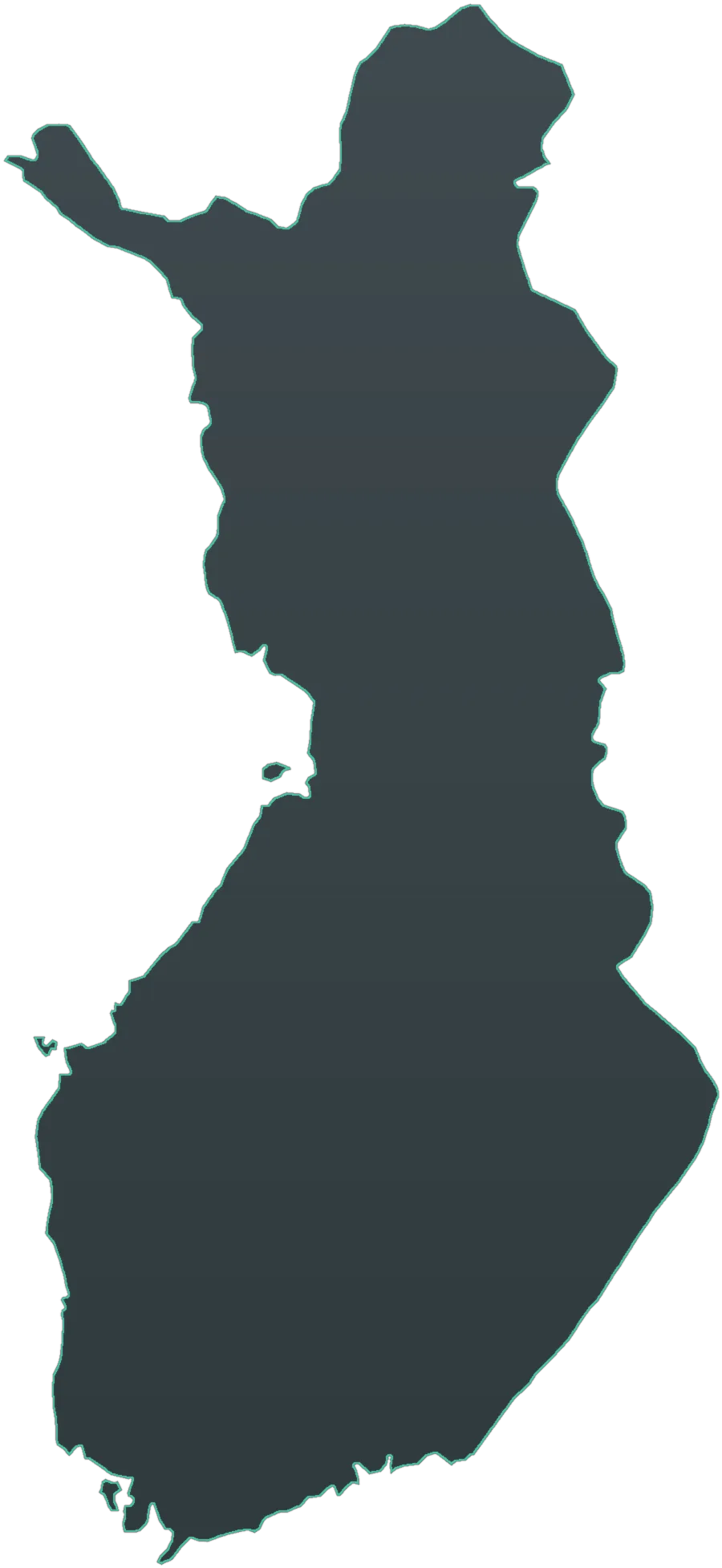
Rita Gold Project covers two granted, contiguous reservations totalling 11,442 hectares in southwest Finland. A reservation provides priority to apply for an exploration permit; it does not authorize exploration, digging or mining.
Fifty-four historic diamond holes tested two gold centres and a separate magnetic anomaly. The two centres, approximately 8.3 kilometres apart, returned repeated historic gold results, but no hole tested either centre below approximately 85 metres vertical.
Project highlights
| The position | Two granted, contiguous Finnish reservations totalling 11,442 ha across southwest Finland, both current and past their appeal windows. Reservations provide priority to apply for an exploration permit; they do not authorize exploration or mining |
|---|---|
| Historic drilling | Fifty-four historic diamond holes for approximately 4,570 m. Forty-eight holes and approximately 4,140 m tested the two gold centres; six holes tested a separate magnetic anomaly without reported gold |
| Gold in the historic core | Selected historic downhole intercepts include 4.75 m at 9.10 g/t Au and 8.60 m at 7.18 g/t Au, each with high-grade internal samples. The results are unverified, true widths are unknown and selective intervals are not representative |
| Repeated historic results | At the western centre, 21 of 30 holes returned at least one intercept at or above 1 g/t Au. At the eastern centre, 13 of 17 assayed holes carry at least 0.5 g/t Au. These counts do not establish continuity or a resource |
| Never drilled deep | No hole has tested either gold centre below approximately 85 m vertical. Several holes ended within metres of reported gold, but continuity beneath them has not been demonstrated |
| Geophysical vector | Historic induced-polarization surveying helped site one of the better reported holes. IP can guide follow-up on this ground, but geophysics maps architecture rather than a mineralized body |
| Sought | A joint-venture partner to fund a staged, gated programme through data consolidation, tenure conversion, ground geophysics and the first deep drilling |
Project rationale
Why this ground
Two gold centres on one property, both already drilled and both left shallow.
Thirty holes at the western centre and eighteen at the eastern centre were drilled between 2004 and 2010. Both returned repeated historic gold results, but the downhole intercepts are unverified and do not establish true width, continuity or a resource.
The previous operator judged only the top 85 vertical metres.
The prior conclusion that mineralization was narrow was based on shallow drilling. Nothing below approximately 85 metres vertical was tested, so depth continuity, scale and economic potential remain unresolved.
Induced polarization already vectored to one of the better reported holes.
A historic IP programme at the eastern centre preceded a selected intercept of 4.75 m at 9.10 g/t Au. The result is historic and unverified, but it supports a qualified programme to re-test surveyed intrusive margins that were not drilled out.
The state survey’s targeting model describes the host setting.
Historic GTK work highlighted mafic intrusions with low magnetic signatures and sulphide-, quartz- and scheelite-bearing shear zones in the Huittinen area. The model guides follow-up; it does not establish continuity or endowment.
The district provides context, not a project outcome.
Long-running gold operations elsewhere in the district show that the regional setting can host gold systems. Third-party mines are not evidence of depth continuity, scale, recoveries, processing access or economics at Rita.
Regional overview
Location Map
Joint-venture opportunity
The opportunity
Rita is not a search for a new occurrence. Two gold centres on the project ground have already been drilled and returned repeated historic gold results. What has not been done is deep drilling: the entire record stops at approximately 85 vertical metres, and several holes ended close to reported gold. The value to be tested is depth and continuity at two centres whose selective near-surface results are already on record. A staged programme first consolidates the data and tenure, then advances ground geophysics and deep drilling only where the evidence converges.
Partner diligence
Request the full technical review.
The full technical review — tenure, the complete drilling and intercept record, structural interpretation, geophysics and source register — is available to qualified counterparties under confidentiality.
Request technical review